Google Earth redefines exploration and map creation by offering immersive, data-driven tools to view and interact with the world. With high-resolution satellite imagery, 3D terrain, and Street View's 360° perspectives, Google Earth enables users to explore global landmarks, create personalized maps, and collaborate on projects from anywhere. Whether you're diving into city streets or discovering natural wonders, Google Earth provides a comprehensive platform for learning, storytelling, and adventure.
Explore the World in Stunning Detail
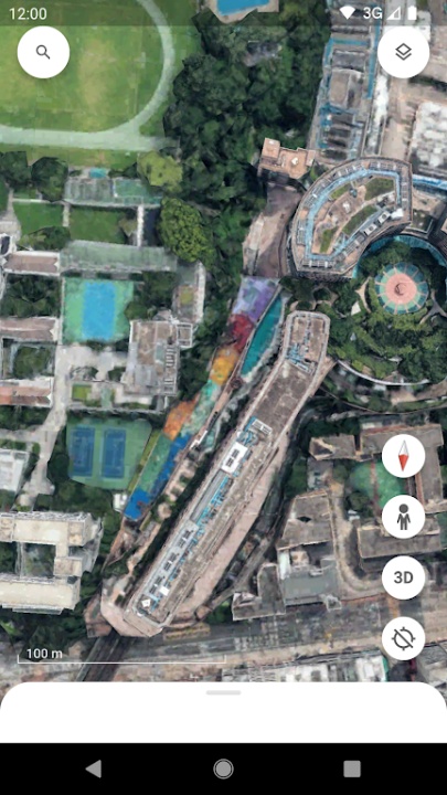
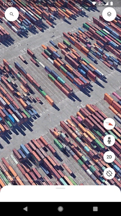
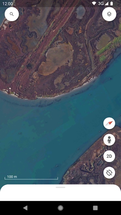
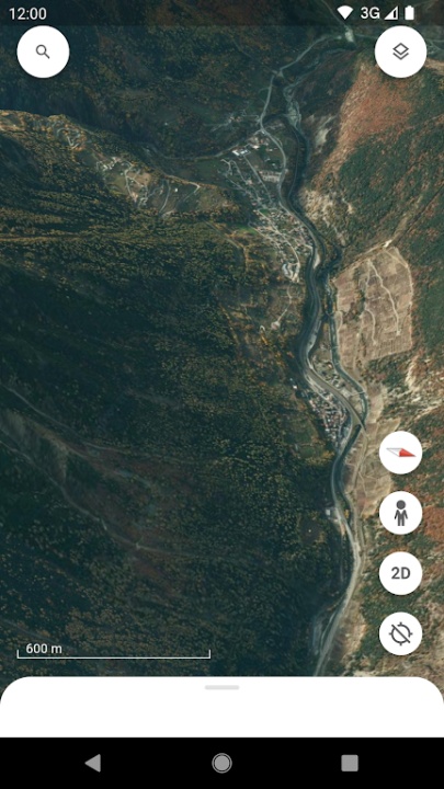
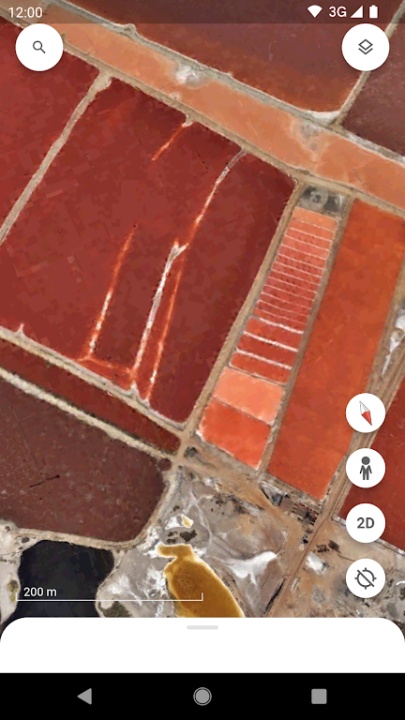
- View the planet from above with high-resolution satellite imagery that captures the beauty and diversity of Earth's landscapes.
- Explore 3D terrain and buildings in hundreds of cities, offering a realistic and detailed perspective of urban environments.
- Dive into streets and neighborhoods with Street View's 360° perspectives, allowing you to virtually walk through locations worldwide.
Create and Collaborate on Maps
- Use advanced mapmaking tools to draw on maps, add photos and videos, and customize views for storytelling and presentations.
- Highlight key locations with placemarks, draw lines and shapes, and annotate maps to add rich contextual information.
- Collaborate with others like a Google Doc, sharing your maps and stories for group projects or presentations.
Discover Global Landmarks and Cultures
- Take guided tours around the globe with leading storytellers, scientists, and nonprofits to learn about diverse cultures and environments.
- Explore striking landscapes, traditional homes, and unique ecosystems through curated collections and Street View imagery.
- Immerse yourself in new cultures and test your knowledge of the world with interactive features and educational content.
Advanced Features for Professionals
- Access Google Earth Pro for desktop users, offering tools to import and export GIS data and view historical imagery.
- Tilt maps for perfect 3D views or dive into Street View for a comprehensive exploration experience.
- Create immersive, data-driven maps directly from your phone or tablet, enhancing accessibility and convenience.
Device Compatibility
- Available on Android, iOS, PC, Mac, and Linux, ensuring accessibility across multiple platforms.
- Use Google Earth on Chrome for a seamless browser-based experience, with more browser compatibility coming soon.
Why Choose Google Earth?
- Combines high-resolution imagery, 3D terrain, and interactive tools for unparalleled exploration and map creation.
- Offers educational and storytelling features to inspire curiosity and learning about the world.
- Provides professional-grade tools for advanced users, making it suitable for both casual exploration and detailed projects.
Frequently Asked Questions
Q: Can I create maps with Google Earth?
A: Yes, Google Earth allows users to create and customize maps with photos, videos, and annotations.
Q: Does Google Earth include Street View?
A: Absolutely, Street View provides 360° perspectives of streets and neighborhoods worldwide.
Q: Is Google Earth available on mobile devices?
A: Yes, it is accessible on Android and iOS devices, as well as on PC, Mac, and Linux.
Q: Can I collaborate on maps with others?
A: Yes, Google Earth supports collaboration, allowing users to share and edit maps together.
Q: What is Google Earth Pro?
A: Google Earth Pro offers advanced features like GIS data import/export and historical imagery for professional use.
Version History
v10.64.0 ---- 1 Oct 2024
Thanks for using Google Earth! This version includes bug fixes.
Our recent release brings a fresh new look, with new features to help you:
Collaborate with others across devices.
Create maps on the go.
Add photos from your camera to your maps.
v10.63.0 ---- 16 Sep 2024
Thanks for using Google Earth! This version includes bug fixes.
Our recent release brings a fresh new look, with new features to help you:
Collaborate with others across devices.
Create maps on the go.
Add photos from your camera to your maps.
v10.61.1 ---- 4 Sep 2024
Thanks for using Google Earth! This version includes bug fixes.
Our recent release brings a fresh new look, with new features to help you:
Collaborate with others across devices.
Create maps on the go.
Add photos from your camera to your maps.